by Christina Ammon (www.footlooseintheapplegate.com)
Last week my partner Conrad and I decided to take a local driving adventure: The Siskiyou Loop. From the Applegate Valley, this 85-mile drive starts near McKee Bridge and winds up to the backside of Mount Ashland via Forest Rd 20. At its highest points, the cruise provides a panoramic overview of our Klamath-Siskiyou ecoregion. If you have trouble walking, or don’t want to walk, there’s probably not a better way to see our region, except by airplane.
The last time I drove the route was by accident. I was with a friend atop Mount Ashland and saw a road sign reading: Applegate Valley 25 Miles. We decided to try it out, figuring that the road might add a few miles, but be a nice scenic alternative to driving the I-5 back to Ashland.
Alternative it was! The road was unexpectedly slow-going, and I’m pretty certain we took several wrong turns because we didn’t arrive home until well after dark.
That was 30 years ago but still daunted by the memory, I packed the car with extra water, a flashlight and snacks. I made sure the gas tank was full, and my spare tire was at-the-ready. I emailed my partner the Forest Service “Siskiyou Loop” brochure so he’d conduct his own due-diligence before agreeing to the adventure.
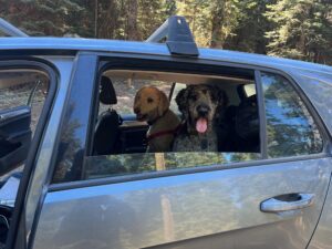
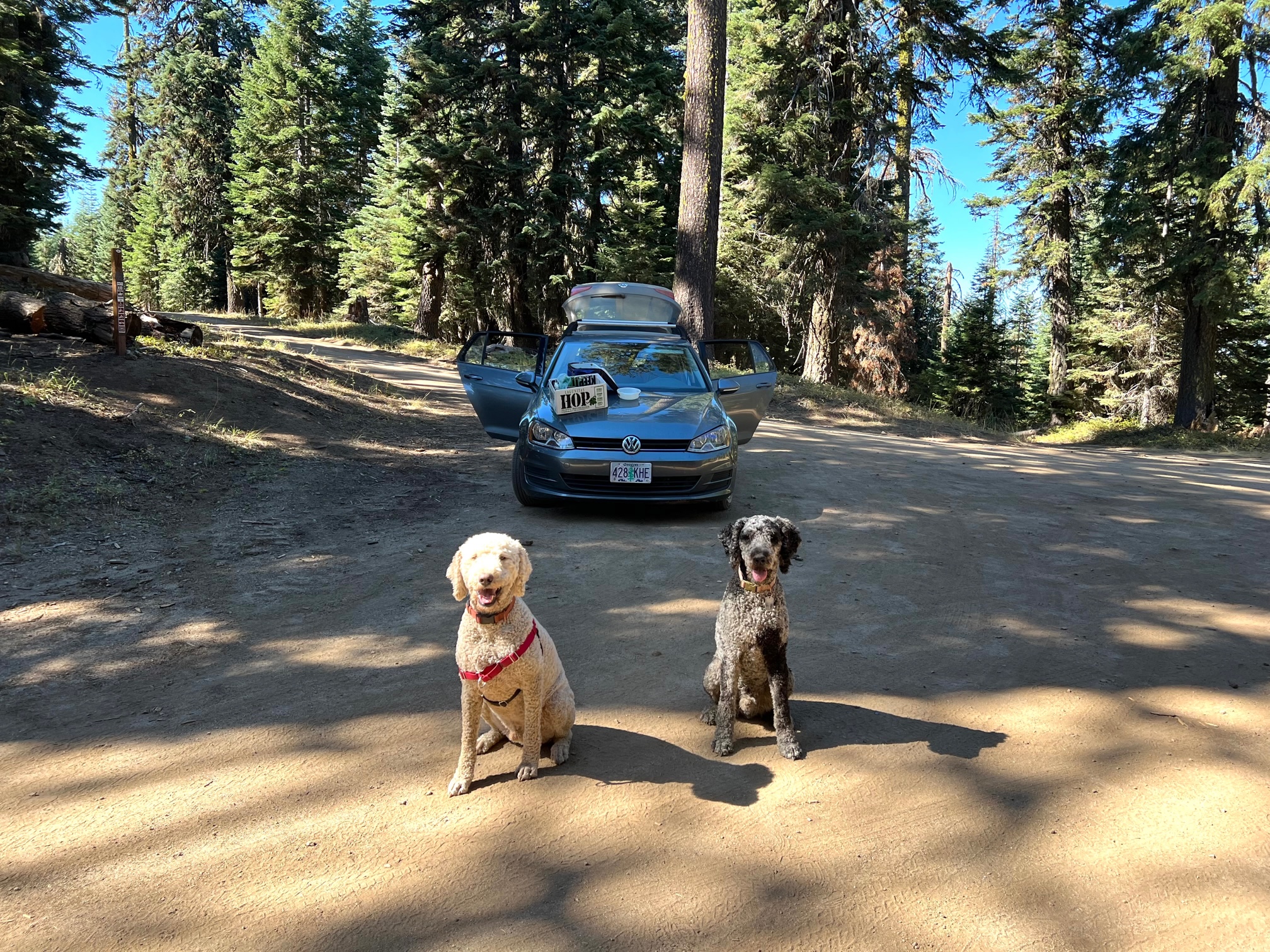
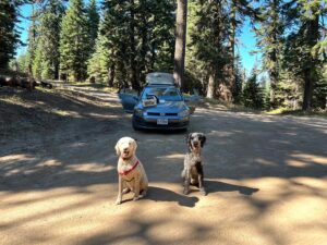
Around 10am the next day, we loaded our two large poodles into my small VW Golf and proceeded to twist and turn up Forest Road 20. After a scorching fall, I was pleased to see the temperature gauge in my car dashboard drop as the miles passed. The dirt road stayed smooth for a long while and presented no problems for my little car.
We arrived at scenic viewpoint and let the dogs out for a romp. There were peaks and ranges in every direction the distance. The surrounding nature felt pristine.
“This makes me feel like I don’t need to go anywhere else anymore,” said Conrad, once an avid traveler. “There is so much right here!”
“This makes me feel like I don’t need to go anywhere else. There is so much right here,” says Conrad Rogmans
It was true. We do live in paradise. But I was suddenly struck by how clueless I am about so many of our nearby geographic features—especially after living here for so long. What range is what? What’s that peak called? Which direction am I facing? After spending the last two decades working and traveling abroad, I probably knew more about Nepal or Morocco than my own backyard.
That said, I have a dangerous orienteering-style wherever I go. Rather than study a map, or ask for information, I navigate the world Roomba-style. This means colliding with dead ends and wrong ways until I have built a mental lay-of-the-land. This approach can be fun in a foreign city (and it’s great for collecting stories, instead of dust!) but not recommended for backcountry exploration. It’s the reason I was bedeviled by this route decades ago.
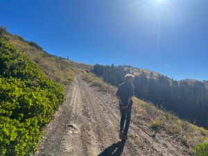
Fortunately, on the Siskiyou Loop route, signs for Forest Road 20 are posted at the intersections and all you have to do is follow them carefully.
We drove and stopped periodically, taking short strolls on the Pacific Crest Trail when we crossed it, and taking in autumnal views where we found them. We picnicked on the hood of the car atop “Long John Saddle” and watched the dogs frolic through the woods.
A couple of side notes:
There is a reason poodles are so often depicted sitting neatly on sidewalks outside of French bistros: they are city dogs, not country dogs! They may not shed on the silk sofa of an urban apartment, but in the countryside their fur attracts every type of burr, thistle and weed!
Also, I also have wrong car for country living: A Volkswagen Golf is useless for hauling haybales, or firewood, or doing pretty much anything I need to do out here. Luckily, even when Forest Road 20 turned rocky for a spell, I was able to clear every hurdle by taking it slow.
I was surprised at how quickly we made it to the parking lot of the Mount Ashland ski area; I’d prepared for an arduous all- day adventure full of mishaps. Maybe the road is better now, or my expectations are better-calibrated. But even the Forest Service brochure exaggerates the driving time, warning that it is four-five hours, when it’s really more like three, even with several stops. Maybe the discrepancy can be chalked up to the season, or road maintenance routines.
From the Mt. A parking lot, it was an easy coast back home to the Applegate via I-5. We stopped for pizza at Clyde’s Corner on the way to celebrate our local adventure.
So, if you want to have a lazy car adventure, or to dazzle your visiting friends the absolute splendor of where we live, load up the car with a picnic and drive The Siskiyou Loop. You don’t need a 4-wheel drive, or Eagle Scout-level orienteering skills. But I do recommend checking the weather; it’s bound to be snowy up there at times. And if you like information, download the Forest Service brochure which provides much route beta, including botanical and historical details.
Also: I recommend different dogs!